
Tourenauswahlfenster

|
August 2000: Rocky Mountains | Impressum und Datenschutz
Tourenauswahlfenster |
Sept. 2000: Mesa Verde | |
(einen Moment bitte, die Karte wird gleich angezeigt)
| Gebiet | |
| Datum | 13.9. - 14.9.2000 |
| Wanderung |
Wanderung vom High Point zum Warner Point im Black Canyon of the Gunnison National Park |
| Fahrstrecke |
Grand Lake Granby Berthoud Falls Silverthorne Copper Mountain Leadville Granite Buena Vista Poncho Springs Monarch Pass Gunnison Blue Mesa Reservoir Black Canyon of the Gunnison |
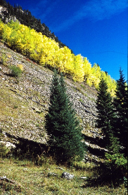
Bild 1:
Vom Herbst gelb gefärbte Aspen an den Bergflanken hinter Leadville
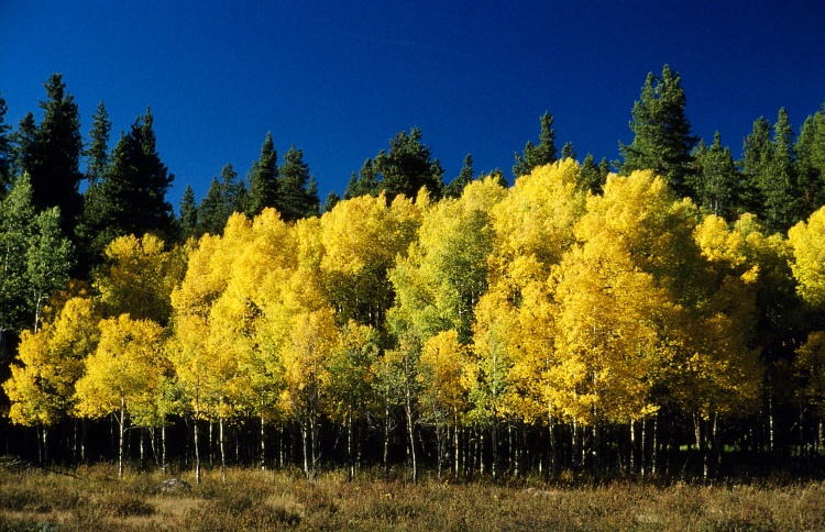
Bild 2:
herbstlich gefärbte Aspen-Stände
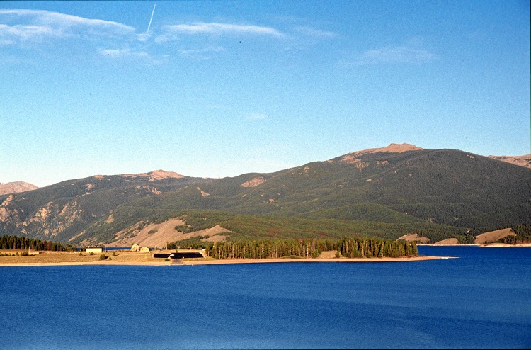
Bild 3:
See vor dem Fremont-Pass (Dillon Reservoir ?)
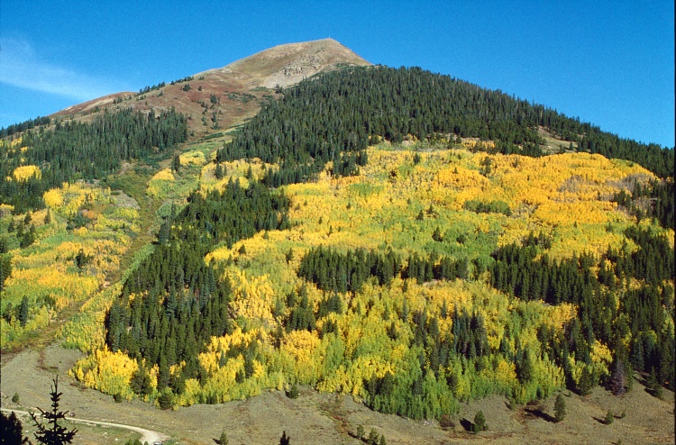
Bild 4:
herbstlich gefärbte Aspen
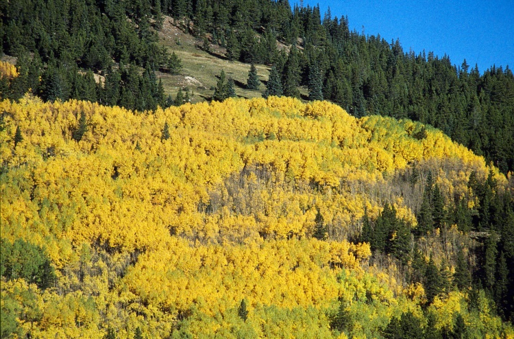
Bild 5:
herbstlich gefärbte Aspen-Stände
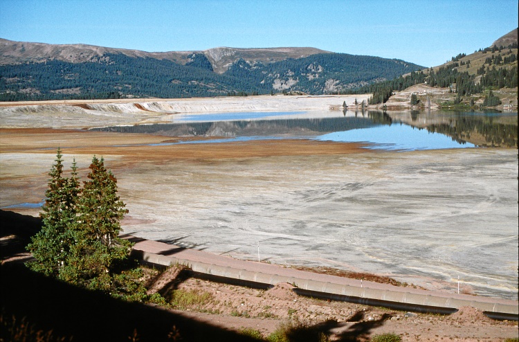
Bild 6:
Abwasser - See bei Climax in der Nähe des Fremont-Passes
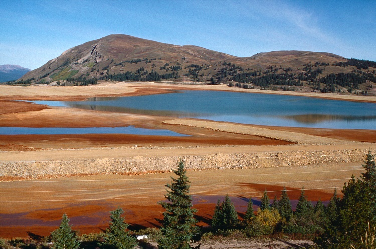
Bild 7:
Deutlich erkennbar: hier wird Erzabbau (Molybdän: Climax mine) betrieben
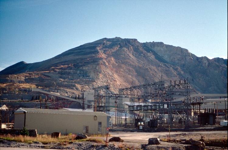
Bild 8:
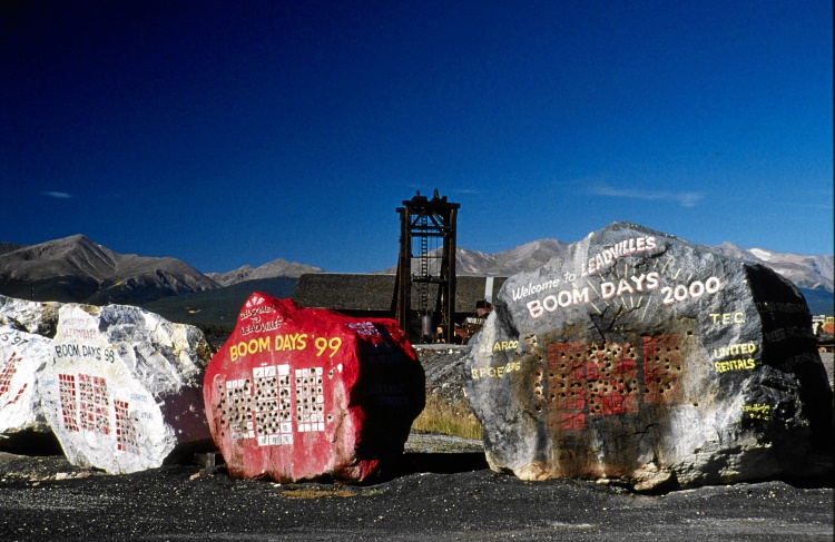
Bild 9:
Bei Leadville wird alljährlich das Festival der Leadville Boom Days gefeiert.
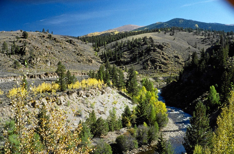
Bild 10:
typisches Rocky-Mountain-Gelände - die Berge sind durchzogen von alten Minen-Schäften und verfallenden Bergwerk-Anlagen.
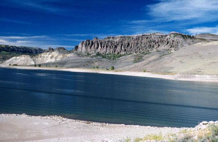
Bild 11:
Nach langer weiterer Fahrt erreiche ich das Blue Mesa Resevoir
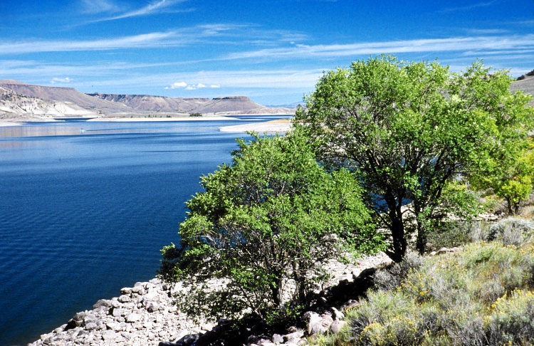
Bild 12:
Blue Mesa Resevoir
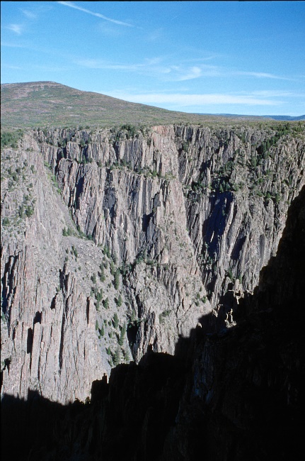
Bild 13:
Black Canyon of the Gunnison
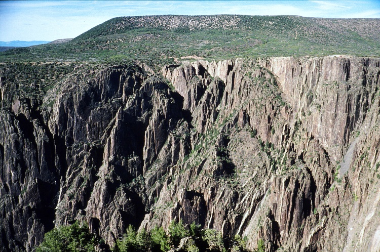
Bild 14:
Black Canyon of the Gunnison
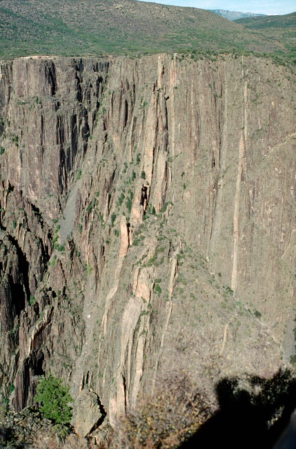
Bild 15:
Black Canyon of the Gunnison
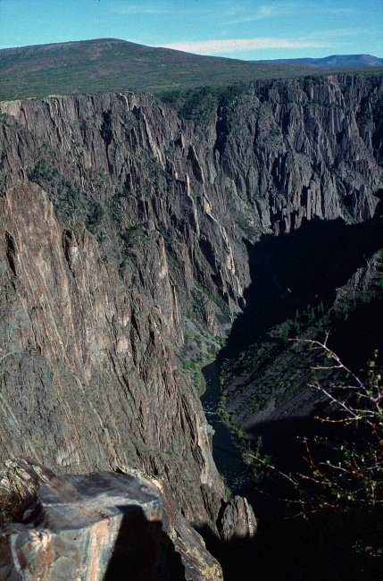
Bild 16:
Black Canyon of the Gunnison
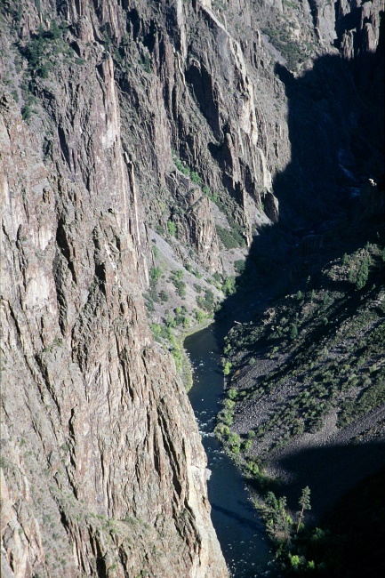
Bild 17:
Black Canyon of the Gunnison
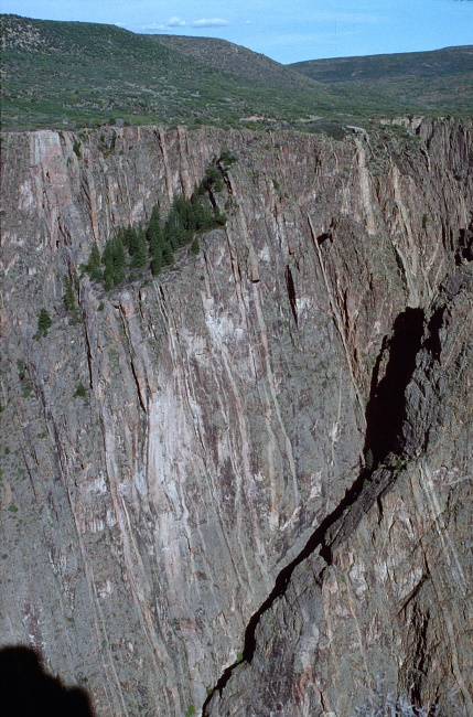
Bild 18:
Black Canyon of the Gunnison
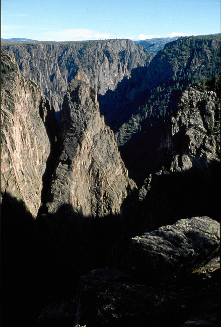
Bild 19:
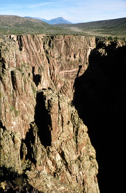
Bild 20:
Black Canyon of the Gunnison
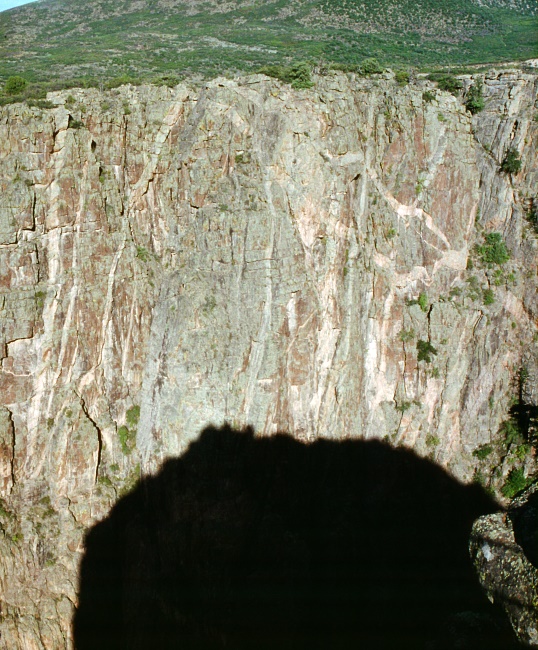
Bild 21:
Black Canyon of the Gunnison
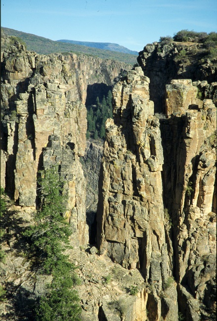
Bild 22:
Black Canyon of the Gunnison
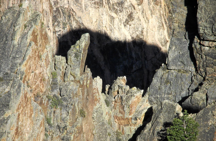
Bild 23:
Black Canyon of the Gunnison
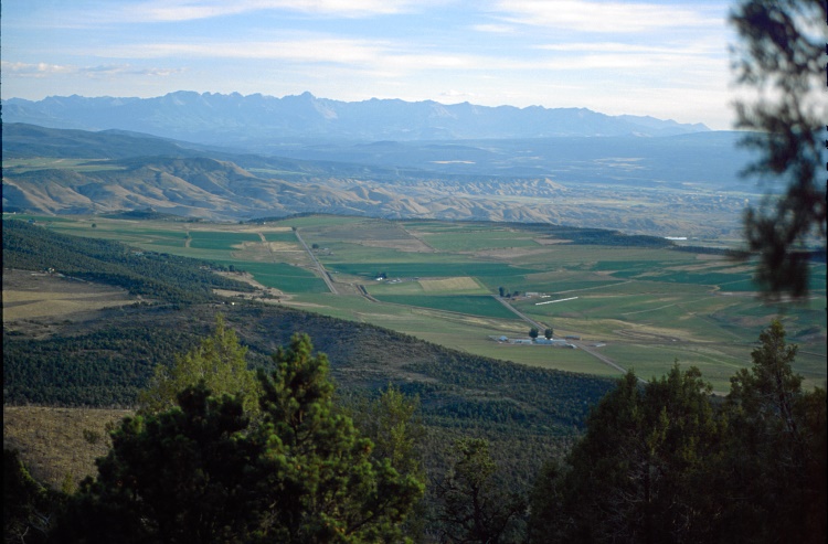
Bild 24:
Umgebung des Black Canyon of the Gunnison
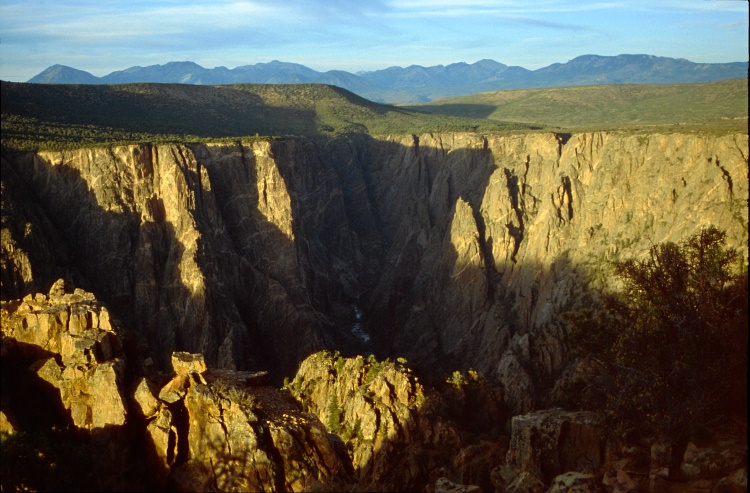
Bild 25:
Black Canyon of the Gunnison
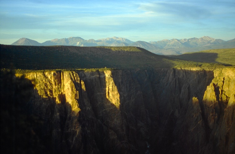
Bild 26:
Black Canyon of the Gunnison
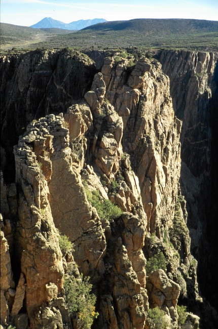
Bild 27:
Black Canyon of the Gunnison
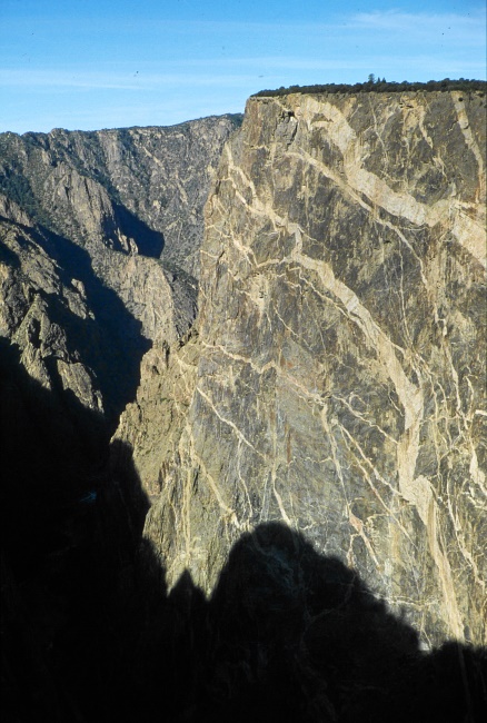
Bild 28:
Black Canyon of the Gunnison
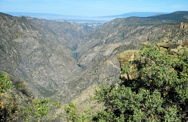
Bild 29:
Am Warner Point angelangt
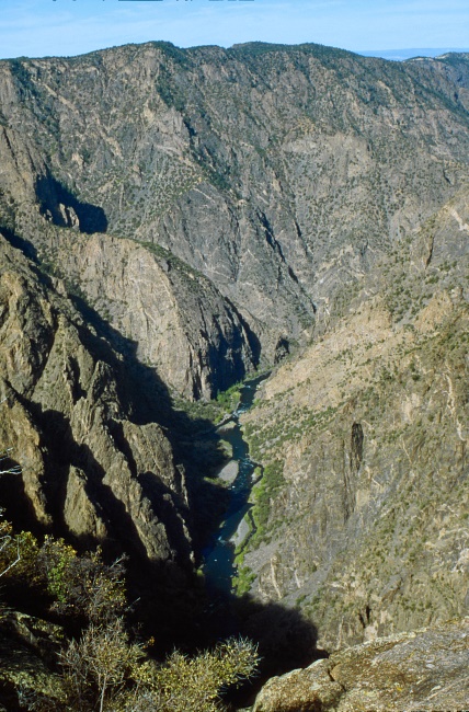
Bild 30:
Blick vom Warner Point in den Canyon, durch den der wilde Gunnison River fließt
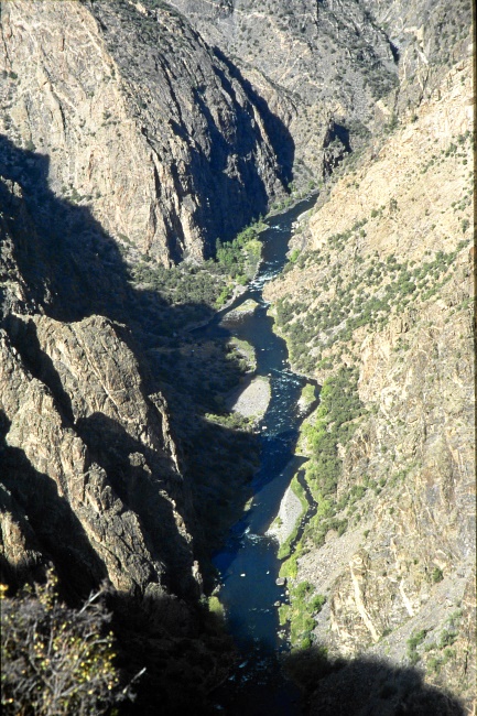
Bild 31:
Blick vom Warner Point in den Canyon
Bild 32:
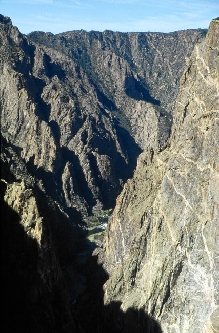
Bild 33:
Black Canyon of the Gunnison
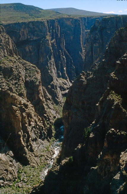
Bild 34:
Black Canyon of the Gunnison
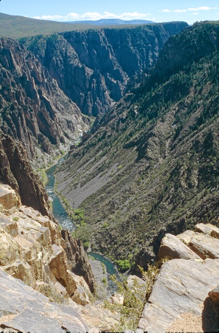
Bild 35:
Black Canyon of the Gunnison
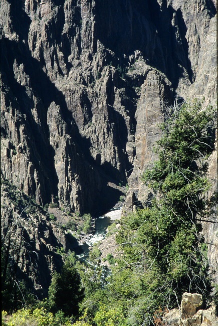
Bild 36:
Black Canyon of the Gunnison
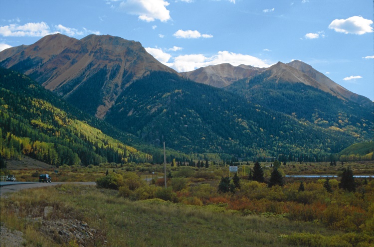
Bild 37:
Nun geht es weiter, zunächst in die vom Gunnison River bewässerte Ebene von Montrose. Dann steigt die Straße wieder an, führt über den Million Dollar Highway hoch zu den Red Mountains nach Ouray und dann weiter ins beschauliche Städtchen (zumindest zu dieser Jahreszeit) Silverton.
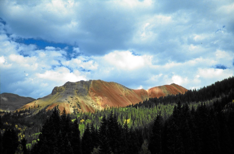
Bild 38:
Bei den Red Mountains, einem Gebiet, in dem einstmals (1882 - 1893) Erzbergwerke (Silber) wie Pilze aus dem Boden schossen.
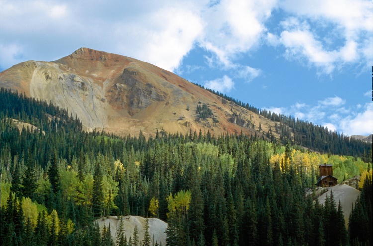
Bild 39:
Red Mountains
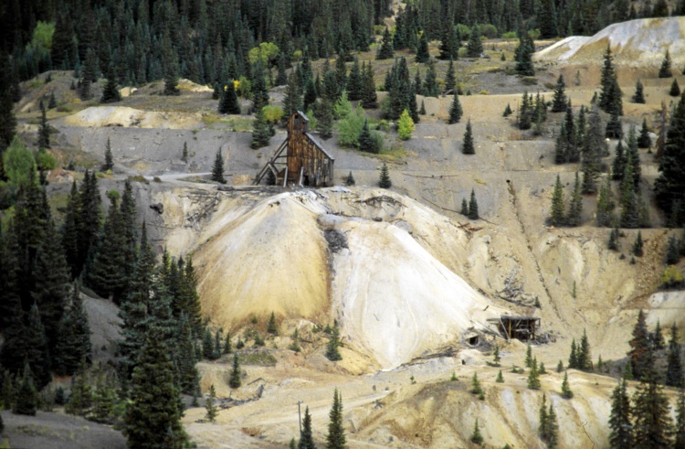
Bild 40:
Die Idarado-Mine in den Red Mountains
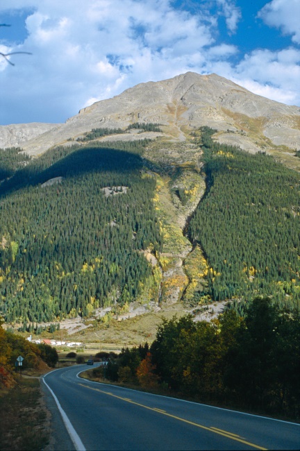
Bild 41:
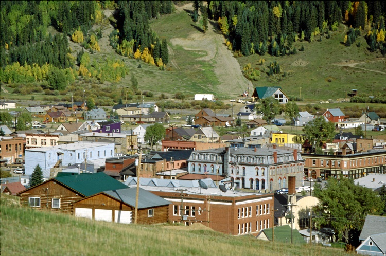
Bild 42:
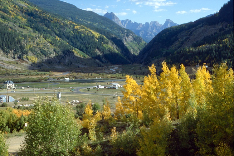
Bild 43:
Auf dem Weg nach Ouray und Silverton
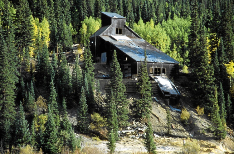
Bild 44:
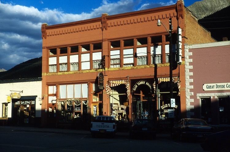
Bild 45:
In Silverton angelangt. Dass dieses Städtchen einstmals seinen Reichtum aus Tonnen von Silber geschöpft hat, kann man immer noch erahnen. Viel Touristen reisen hier mit der Durango-Silverton narrow gauge Eisengbahn an
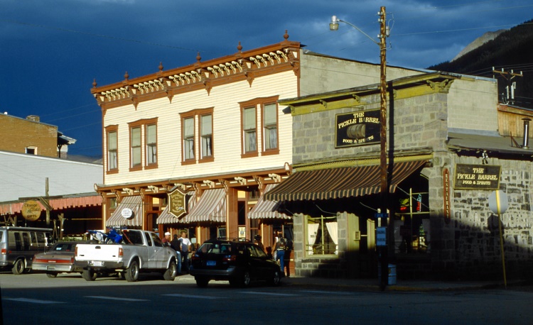
Bild 46:
In Silverton
Weiter geht es am nächsten Morgen über Durango nach Cortez, wo es sich anbietet, noch einen Abstecher zum Mesa Verde National Park zu machen.
![]() nach oben
nach oben ![]()